Sunday
09.2026

Quan Ba Heaven Gate: The Ha Giang Loop’s First Big Viewpoint
25 Sep - 2026
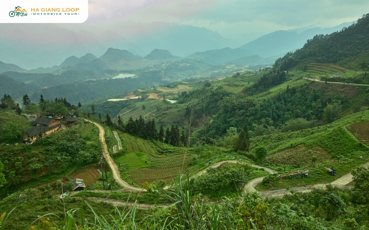
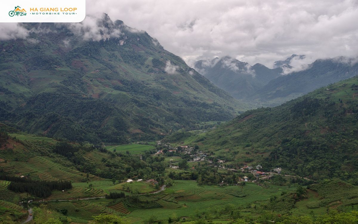
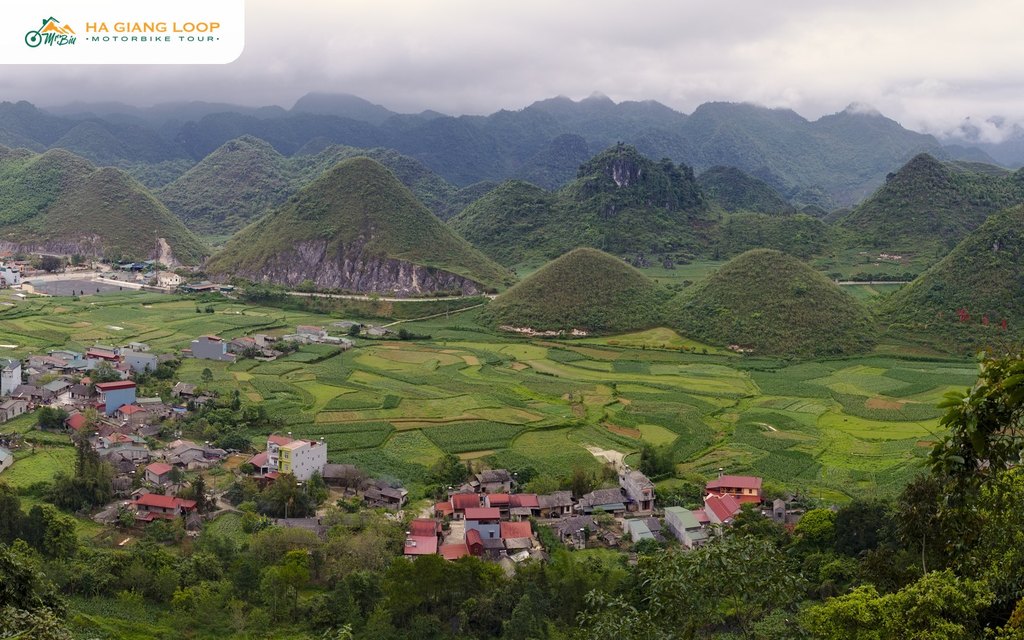
Quan Ba Heaven Gate is the moment the Ha Giang Loop stops being a road and becomes the thing you came for. About forty-five kilometres out of the city, after the long climb of Bac Sum Pass, the road tops out on a ridge, the valley opens on the far side, and there below you sit Tam Son town, a patchwork of fields and the two round hills every rider has already seen on a postcard.
Every tour stops here. Most riders stay ten minutes. This guide is for making those minutes count: where the gate is, what the name means, when the light is right, and how it fits into the rest of the loop.
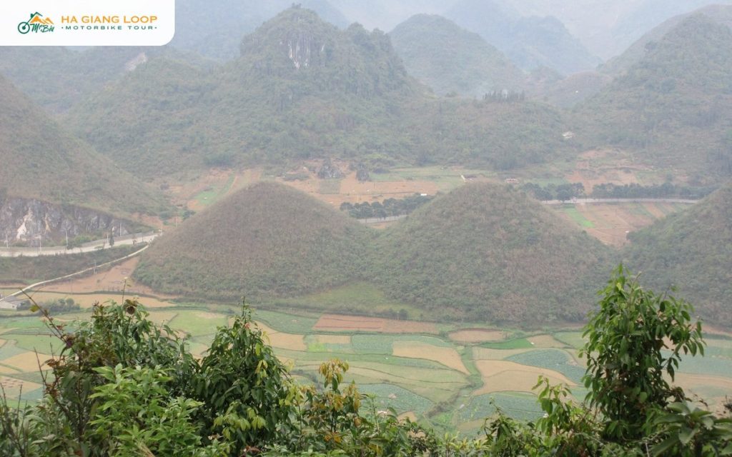
The gate is a pass on Highway 4C at the border between Vi Xuyen and Quan Ba district, at around 1,500 metres above sea level. From Ha Giang city it is about forty-five kilometres, or roughly an hour and a half on a motorbike with the usual photo stops. From the gate the road drops into the Tam Son valley, and the town itself is a few minutes further on.
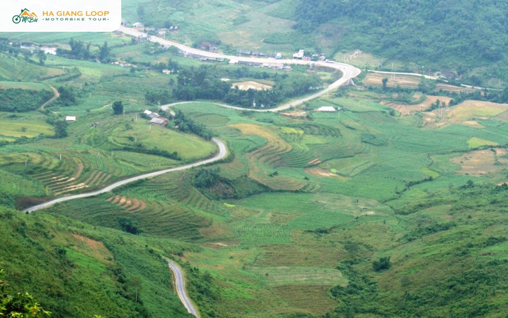
You cannot miss it. The road narrows at the top, there is a cluster of coffee stalls and a small car park, and a set of steps climbs to the viewpoint platform above the highway. Stopping is free.
The Vietnamese name, Cong Troi, means exactly that: the gate of the sky. It is partly poetry and partly history. The pass is the natural entrance to the Dong Van Karst Plateau. Beyond it the landscape changes from the green river valleys around Ha Giang city to the grey limestone country that fills the rest of the loop.
The history is real too. In 1939 the French colonial administration built a heavy wooden gate across the pass here to control movement into the highlands. Behind that gate, in the 1940s and 50s, the plateau was ruled in practice by the Hmong Vuong family from their palace at Sa Phin. The wooden gate is long gone, but the sense of crossing a threshold is not. Ride through in the morning fog and you understand the name.
The platform looks south-east over the Tam Son valley. Three things pull the eye.
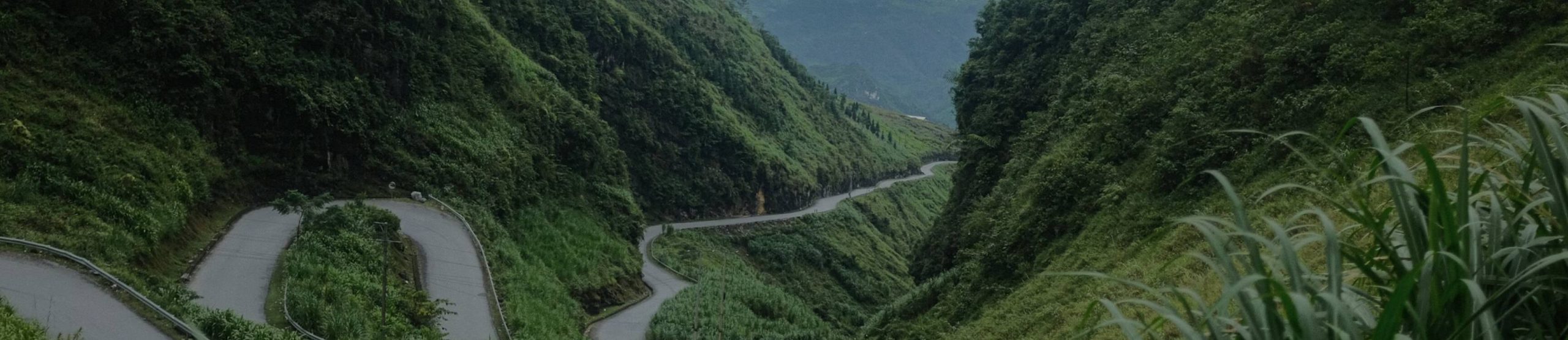
Turn around and look the other way and you get the road you climbed, curling down toward Bac Sum with the Lo river valley far below. Both directions are worth a photo.
The light is the whole game here. Early morning, from about seven to nine, often brings low cloud in the valley with the Twin Mountains poking through, the shot people travel for. Late afternoon puts warm light on the fields and the hills. Midday is flat, hazy and crowded, because that is when every tour bus arrives.
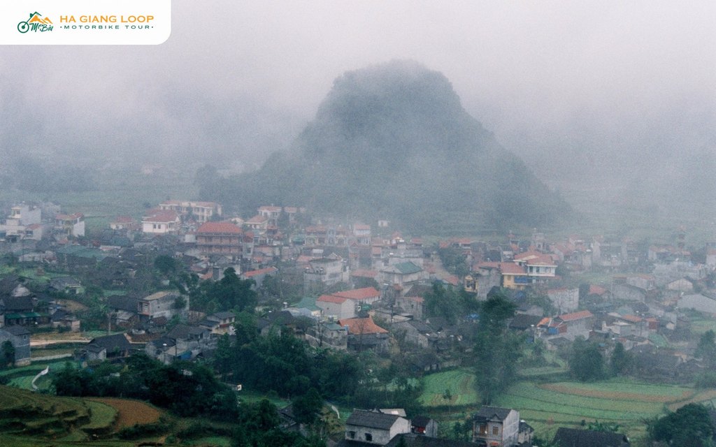
By season: September and October give golden fields and clear skies. November to February bring fog and the best cloud-sea mornings, but also cold and grey days when you see nothing at all. Our page on cloud hunting in Ha Giang explains how to read the conditions. Summer is green and dramatic but the afternoons bring rain. If the pass is inside a cloud when you arrive, have a coffee and wait twenty minutes. It often lifts.
The stalls at the gate sell coffee, tea, instant noodles and boiled corn, and they have the best seats in the province. Order something, sit on the terrace and let the group ahead of you finish with the viewpoint before you climb. The steps up to the platform take two minutes. There is a second, higher point along the ridge trail if you want the view without the crowd. Ask the stall owner for the path.
If you are riding, park on the roadside pull-outs, not on the highway itself. Trucks use this road and the corner at the top is blind.
Riders going anticlockwise from Ha Giang city meet the gate on the morning of day one, as the first real reward after the first of many passes. On our route, which starts east through Thai An and Du Gia, the gate comes on the last day, after Tam Son lunch and before the descent of Bac Sum. Both work. The first-day version is the surprise; the last-day version is the farewell.
Our 4 days 3 nights tour stops here on day four, between Lung Khuy Cave and the run home. The full picture of what comes before and after is in our Ha Giang Loop guide.
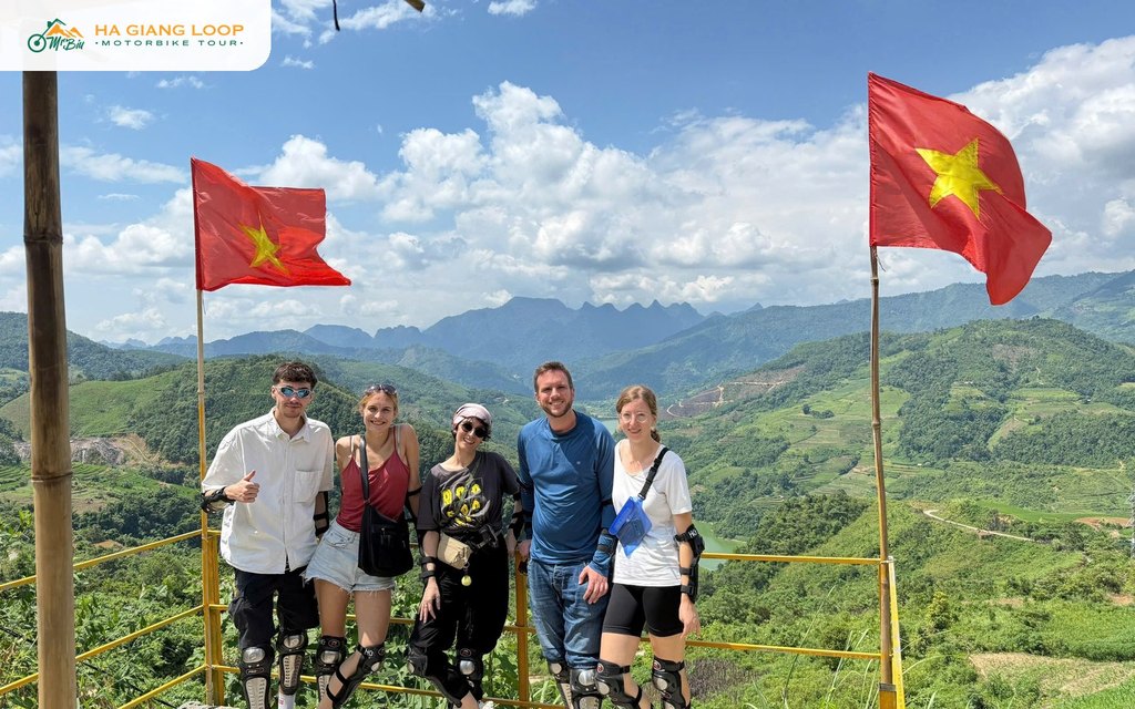
Our tours are run by a local family who have ridden these roads their whole lives. Heaven Gate is a stop on every route we run, and our guides know which side of the ridge has the clear view on a foggy morning.
The classic loop: Thai An Pass, Du Gia waterfall, Ma Pi Leng and the Dong Van Karst Plateau, with two homestay nights, plus the Sung La valley and Lung Cam on the final morning. Around 350 km, from $100.
Everything above plus Lung Cu Flagpole, a Lo Lo village, the Yen Minh pine forest and Lung Khuy Cave, at a gentler pace. Around 440 km, from $140.
Self-drive or easy rider on both. Message us on WhatsApp at (+84) 3272 58338 or email mrbiu.booking@gmail.com and tell us your dates.
On Highway 4C about forty-five kilometres north of Ha Giang city, at the top of the climb after Bac Sum Pass and just before Tam Son town. It sits at around 1,500 metres and marks the entrance to the Dong Van Karst Plateau.
No. Stopping at the viewpoint is free. The coffee stalls at the gate are the only cost, and they are worth it for the seats.
Early morning for low cloud and soft light, late afternoon for warm colour on the fields. Avoid midday, when the light is flat and the tour buses arrive. Autumn has the clearest skies.
Thirty minutes is enough for a coffee, the main platform and the quieter ridge point. Ten minutes is what most groups take and it is too short.
Yes. The two round hills sit on the valley floor directly below the viewpoint, with Tam Son town beside them. It is the classic photo of Quan Ba.
Yes, every version of the loop crosses it, either on the first morning going anticlockwise or on the final afternoon on routes that start through Thai An and Du Gia, like ours.