Friday
09.2026

Bac Sum Pass: The Winding Warm-Up Before Quan Ba
27 Sep - 2026
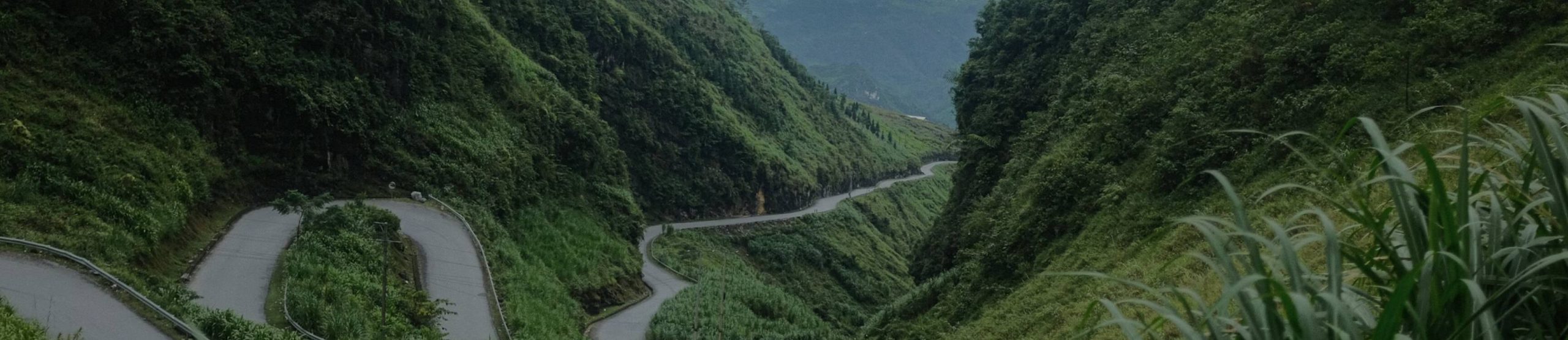
Bac Sum Pass is the first time the Ha Giang Loop makes you work. Twenty-odd kilometres out of the city, the flat river road ends, the hillside stands up in front of you, and the tarmac starts folding back on itself in a dozen or so hairpins. By the top your hands know the bike, your eyes know the corners, and the plateau is waiting behind Quan Ba Heaven Gate.
It is not the biggest pass on the loop. It is the one that sets your rhythm. This guide covers where it is, what the climb is like, how to ride it safely, and how it fits into the loop in both directions.
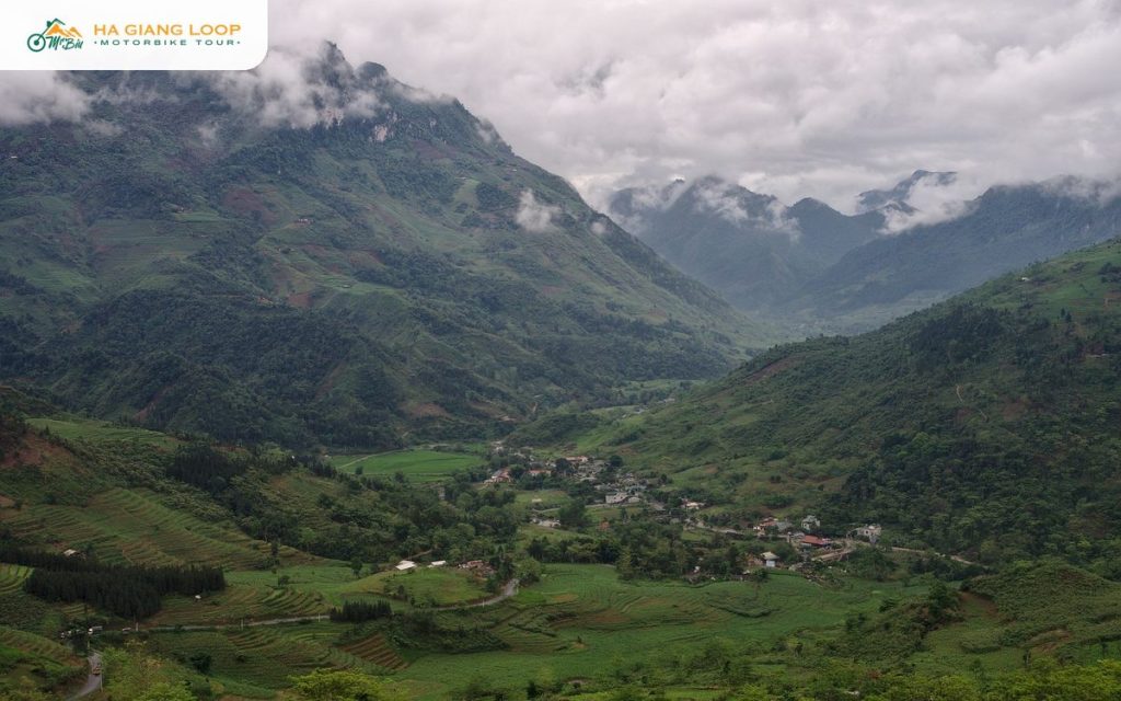
The pass lies on Highway 4C in Minh Tan commune of Vi Xuyen district, about twenty-five kilometres north of Ha Giang city. The road follows the Lo river out of town, crosses to the far bank, and then begins climbing at the village of Bac Sum, which gives the pass its name. Locals say doc, slope, rather than pass, and the word fits: it is one long, steady climb rather than a ridge crossing.
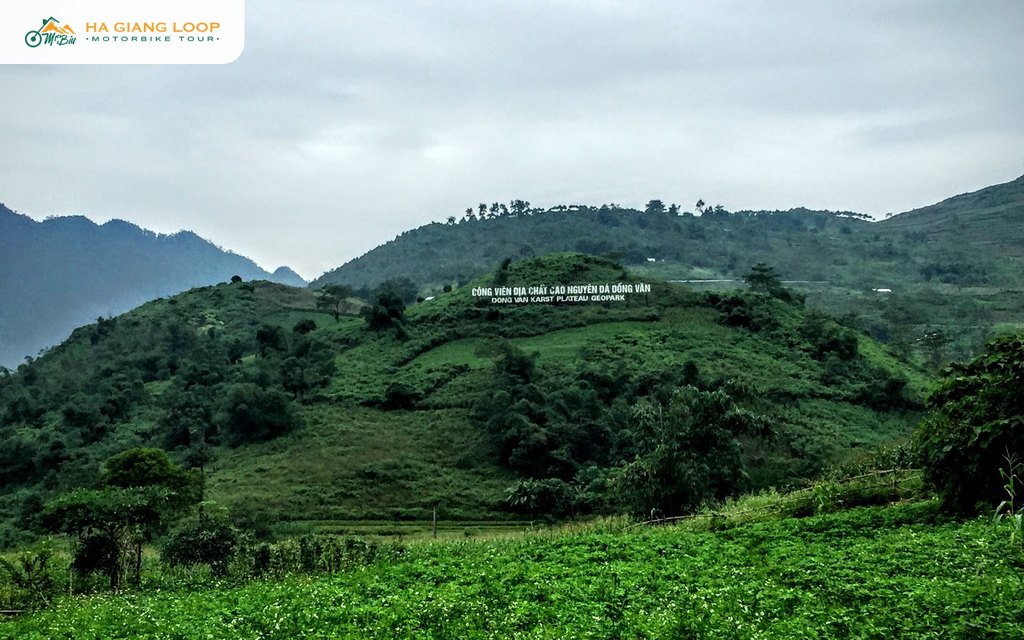
The road gains roughly a thousand metres of altitude in around seven kilometres of climbing. At the top the land levels briefly before the last stretch to Quan Ba Heaven Gate, another few kilometres on. On our Ha Giang Loop map it is the first named point north of the city.
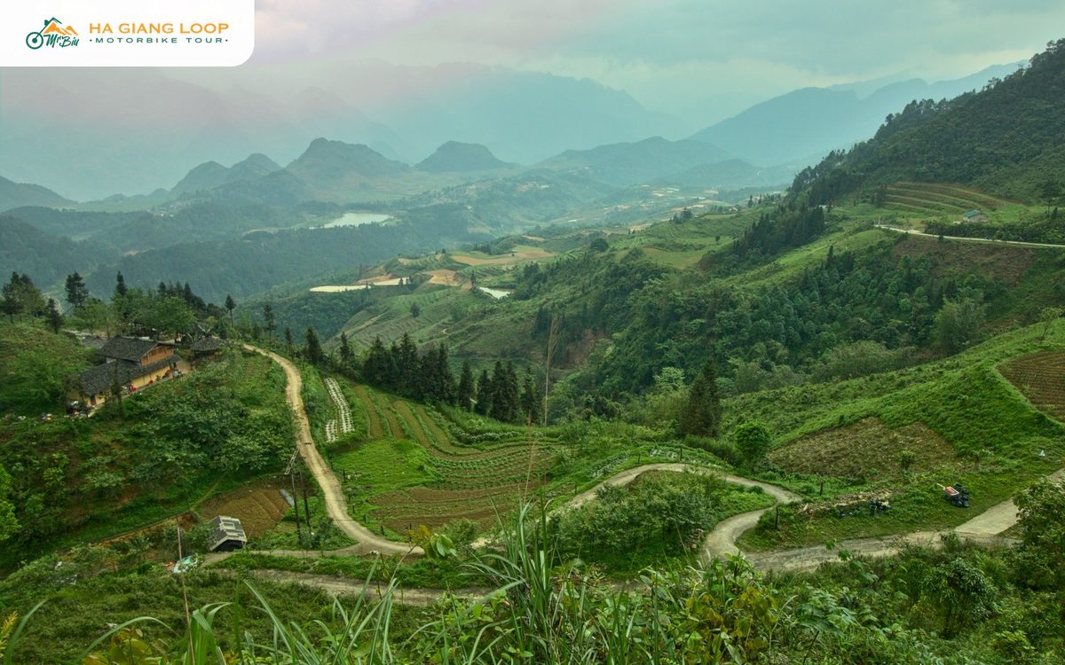
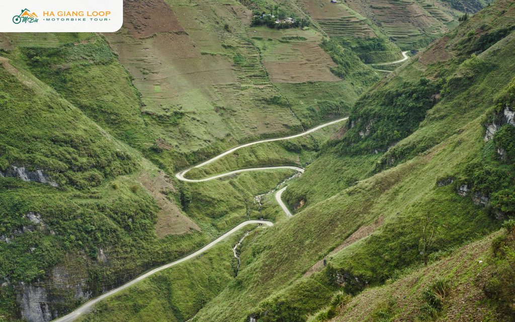
Bac Sum Pass is a pleasure to ride because it is built well. The surface is good tarmac, the lanes are wide enough for a truck and a bike to pass, and the hairpins are stacked tightly enough that you can see the next two bends above you as you take the one you are in. From certain corners the whole staircase of the road is visible below, which is why the pass photographs so well from above.
The gradient is steady rather than steep. A 110cc semi-automatic climbs it in second and third gear without complaint, two-up with luggage included. Manual bikes and the bigger 150cc machines make it feel easy. The view opens as you climb: the Lo river valley behind, terraces on the slopes, and, on a clear day, ridges rolling toward the Chinese border.
Give it twenty to thirty minutes with stops. There are pull-outs on several of the outside corners, and one or two small stalls near the top where you can buy water.
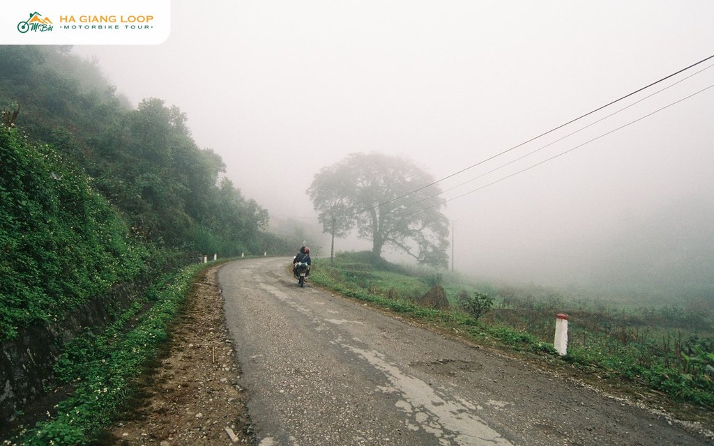
Riders who leave Ha Giang city anticlockwise meet Bac Sum in the first hour of day one. That is where the name of this guide comes from. It is the warm-up: your first hairpins, your first altitude, your first look back over a valley you have just climbed out of. Then comes Heaven Gate, and the real show begins.
Our tours run the other way. We head east out of the city through Thai An and Du Gia first, and come back through Quan Ba on the final day. On that route Bac Sum is the last pass of the trip: the descent toward the city, the river appearing below, the sense that the plateau is closing behind you. Both of our loops, the 3 days 2 nights and the 4 days 3 nights, ride it on the way home.
| Pass | Where on the loop | Character |
|---|---|---|
| Bac Sum | Between Ha Giang city and Quan Ba | Long, steady staircase of hairpins on good tarmac, the warm-up |
| Tham Ma | Between Yen Minh and Pho Cao | Short, famous nine-bend climb, the photo pass |
| Ma Pi Leng | Between Dong Van and Meo Vac | Cliff road above the Nho Que canyon, the king of the loop |
If you can ride Bac Sum comfortably, you can ride the rest. It has the same bend shapes as the harder passes without the cliffs. That is why we tell nervous first-timers to treat it as a test: if your shoulders are relaxed at the top, the loop will be fine. For a full list, see the mountain passes of Ha Giang.
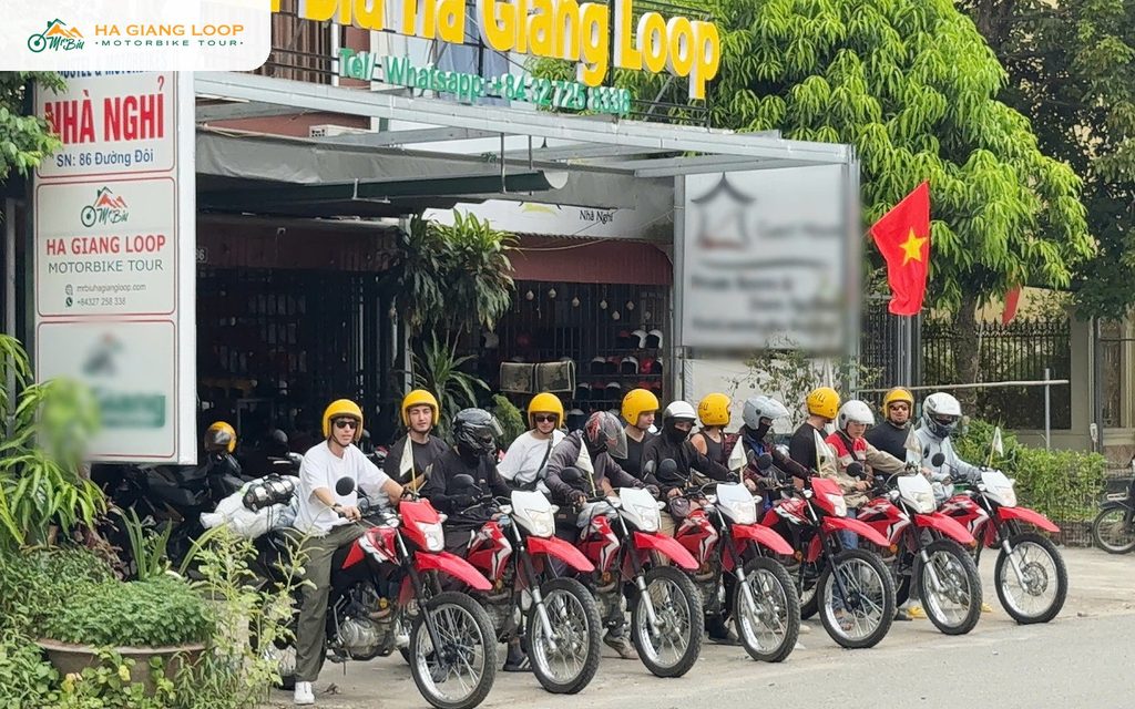
Our tours are run by a local family who have ridden these roads their whole lives. Bac Sum is the last pass of every trip we run, and our guides ride it in front of the group so the descent stays slow and easy.
The classic loop: Thai An Pass, Du Gia waterfall, Ma Pi Leng and the Dong Van Karst Plateau, with two homestay nights, plus the Sung La valley and Lung Cam on the final morning. Around 350 km, from $100.
Everything above plus Lung Cu Flagpole, a Lo Lo village, the Yen Minh pine forest and Lung Khuy Cave, at a gentler pace. Around 440 km, from $140.
Self-drive or easy rider on both. Message us on WhatsApp at (+84) 3272 58338 or email mrbiu.booking@gmail.com and tell us your dates.
On Highway 4C about twenty-five kilometres north of Ha Giang city, in Minh Tan commune of Vi Xuyen district. It is the climb between the Lo river valley and Quan Ba Heaven Gate.
Around seven kilometres of steady climbing with a dozen or so hairpins, gaining roughly a thousand metres. Plan twenty to thirty minutes with photo stops.
Not by loop standards. The tarmac is good and the lanes are wide. The risks are trucks cutting corners, gravel on the inside of bends, and fog on winter mornings. Ride in your lane and slow down in cloud.
Yes. It is the pass we use as a test for nervous riders. The bends are the same shape as on the bigger passes but without the cliff edges. A 110cc bike climbs it easily in second and third gear.
Downhill toward the city on the final day. Our loops start east through Thai An and Du Gia and return through Quan Ba, so Bac Sum is the last pass of the trip.
Bac Sum is longer and gentler, a staircase of hairpins on the way up to Quan Ba. Tham Ma is short and steep with nine famous bends between Yen Minh and Pho Cao. Both are on the standard loop.