Sunday
10.2026

Chin Khoanh Pass: The Nine-Bend Climb Above Sung La Valley
12 Oct - 2026
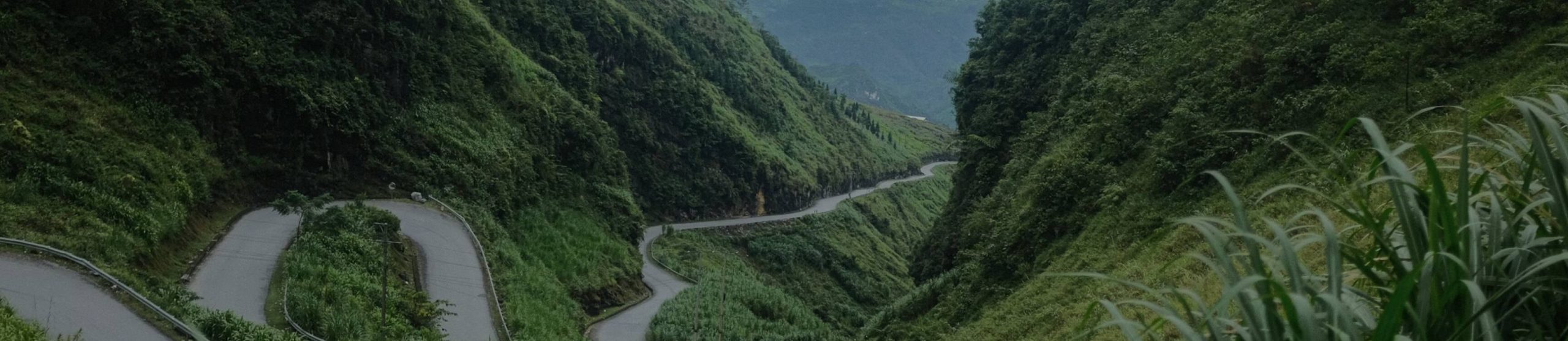
Chin Khoanh Pass is the climb most riders remember by its shape rather than its name. The road folds back on itself again and again up one green hillside, and from the top you can count the bends you just rode.
Chín khoanh means “nine coils” in Vietnamese, which is a fair description. It is short, it is well paved, and it sits right above Sung La valley, inside the Dong Van Karst Plateau Geopark. Below you will find how to find it, how it rides, and where it falls in our itineraries.
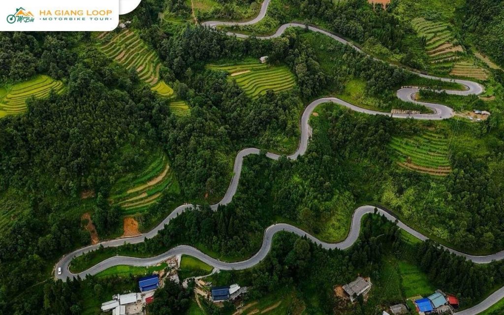
The pass lies on Highway 4C, between the communes of Pho Cao and Sung La in what used to be Dong Van district. So it sits on the Yen Minh to Dong Van section of the loop, roughly 120 km from Ha Giang city by road.
It is easy to confuse with Tham Ma, which climbs the same range a little further south on the same highway. Some guides call both of them “the nine-bend pass”. The way to tell them apart is the view. From Chin Khoanh you look down into Sung La valley, and from Tham Ma you look back towards Yen Minh.
The road is short by Ha Giang standards. You can ride it end to end in a few minutes without stopping, though nobody does. The bends are stacked so tightly that from the inside of one hairpin you can see the next two above you.
There are nine bends, as the name says. Local drivers will tell you only a handful of them are properly tight, and those are the ones where trucks swing wide. The surface is good tarmac, and the hillside is farmed right up to the edge of the road, so you ride past corn, terraces and the odd house built into the slope.
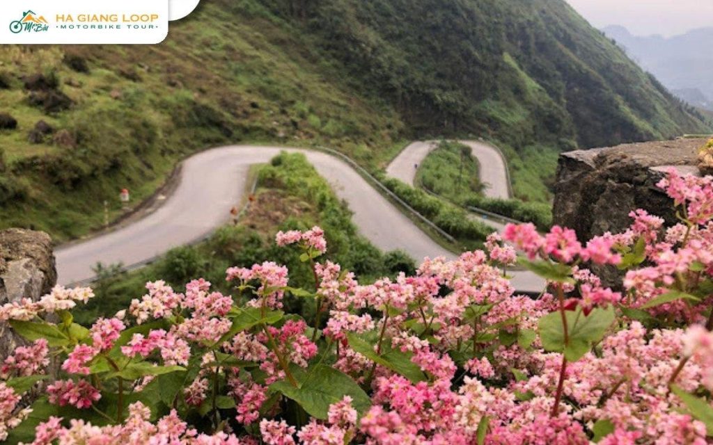
In October and November the verges fill with pink buckwheat flowers, and the pass turns into one of the busiest photo stops on the loop. Our guide to buckwheat flowers in Ha Giang has the timing.
Chin Khoanh is not a cliff road like Ma Pi Leng, and that is why riders relax on it too much. A few things catch people out.
Drop a gear before each hairpin, not in the middle of it. On the way down, let the engine hold your speed instead of dragging the brakes all the way to the bottom.
Keep right on the tight bends. Trucks and minibuses cut the inside line, so on a left-hander assume something is coming down the middle of the road.
Watch the inside edge after rain. Gravel and soil wash down from the fields onto the tarmac, exactly where you want to put your wheel.
Never stop on the bend itself for a photo. Ride to the top, where there is room to pull off, and walk back to the edge. Our tips for riding the Ha Giang Loop cover descending and cornering in more detail.
If you are planning which climbs to look forward to, this is how Chin Khoanh compares.
| Pass | Where | What it is like |
|---|---|---|
| Bac Sum | Ha Giang city to Quan Ba | The first big climb out of the city, steady and well paved |
| Tham Ma | Yen Minh to Pho Cao | Short, steep and famous, with flower sellers at the top |
| Chin Khoanh | Pho Cao to Sung La | Tight coils above Sung La valley, best from the top |
| Ma Pi Leng | Dong Van to Meo Vac | Sheer drops to the Nho Que river, the most dramatic road of the trip |
Our round-up of Ha Giang’s mountain passes covers the rest, including Lung Ho and Ta Lang.
Most of what makes this corner worth slowing down for is off the road itself.
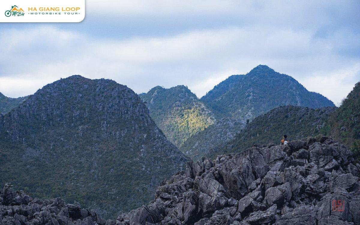
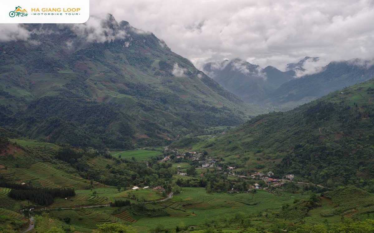
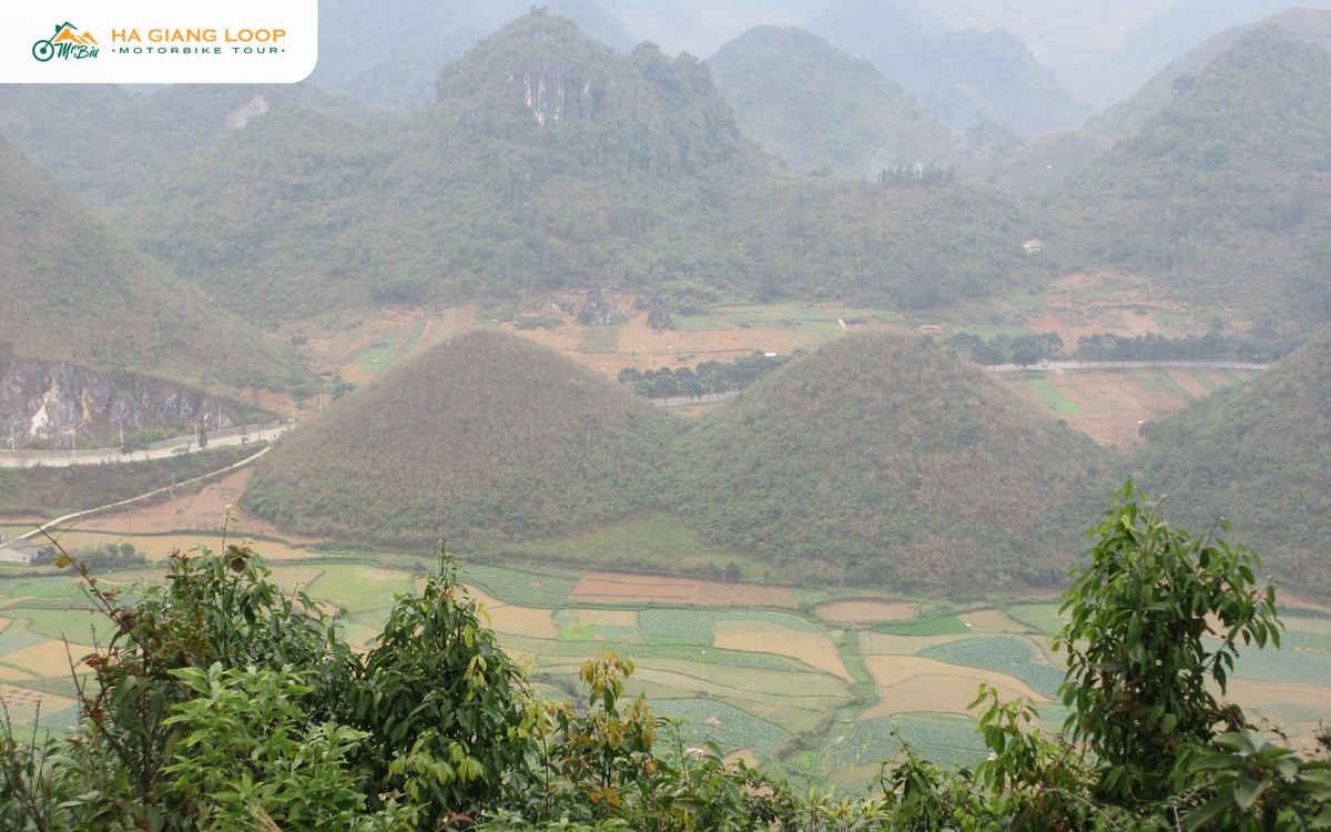
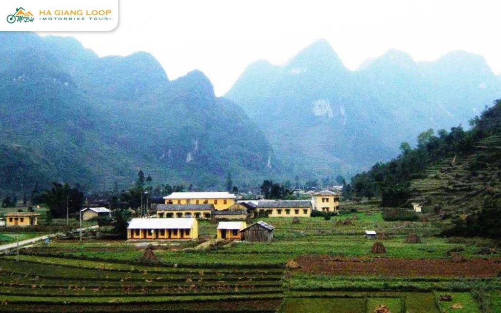
Sung La valley opens below the pass, a flat bowl of fields between limestone mountains. It is greener and quieter than the plateau around Dong Van, and in autumn it is the buckwheat capital of the loop.
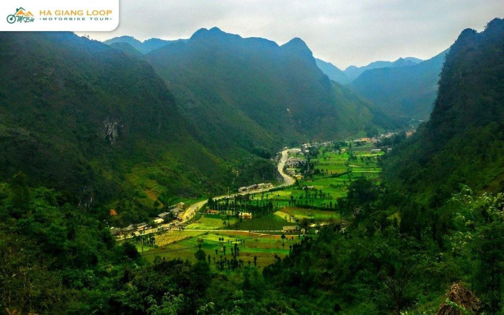
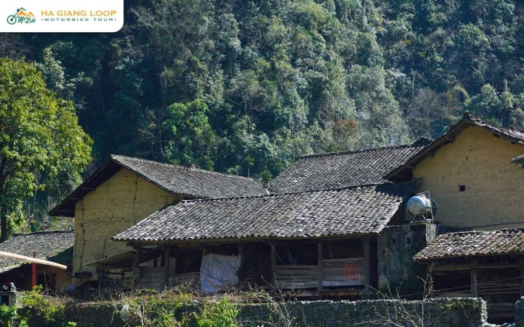
Lung Cam village sits in the valley. Its rammed-earth houses with yin-yang tiled roofs are over a hundred years old, and one of them was the set of a well-known Vietnamese film. We wrote a full guide to Lung Cam village and Pao’s House.
Pho Cao is the commune at the other end, a small centre with fields and karst peaks behind. If you are there on market day, Pho Cao market is worth an hour.
Both of our tours ride the pass on day three.
On the three-day loop we ride, day three leaves Dong Van after breakfast and crosses the karst plateau first. Then comes Chin Khoanh, a stop at Lung Cam, and on through Pho Cao to Tham Ma and lunch in Tam Son. It is about 120 km back to Ha Giang that day, so the stops are short.
On our four-day Ha Giang trip, day three starts at Lung Cu Flag Pole and a Lo Lo village. From there the route drops through Lung Cam and Pho Cao, then climbs Chin Khoanh and Tham Ma before the night in Yen Minh. That day is shorter, so there is more time at the top of the pass and in the valley.
If Sung La is high on your list, especially in buckwheat season, the four-day trip gives it the time it deserves.
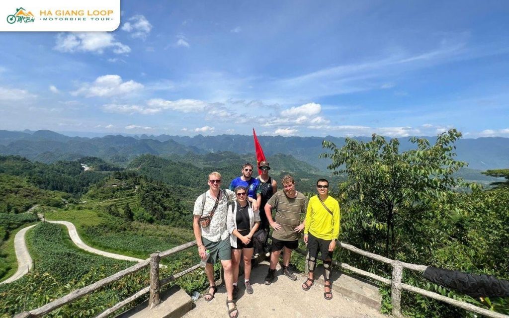
The best view of the coils is from the top, looking back down. Morning light is softer and the road is quieter before the minibuses arrive from Dong Van. On a cloudy day the bends disappear and reappear in the mist, which is a different photo but just as good.
Bring small change if you stop in flower season. Children in traditional dress sometimes pose with flower baskets for tips. Ask before you take a portrait, and do not hand out sweets.
Mr. Biu is a family business from Ha Giang, and on every pass one of our guides rides at the front to set a steady pace. Chin Khoanh is on both trips, along with Ma Pi Leng, Tham Ma and the Dong Van plateau. See all our trips on the Mr. Biu Tour Ha Giang homepage.
Thai An, Du Gia, Ma Pi Leng, Dong Van, Chin Khoanh and Tham Ma, with two homestay nights and around 350 km. From 2.850.000đ ($114) sitting behind a friend, 3.190.000đ ($128) driving yourself, or 4.000.000đ ($160) with an easy rider.
Adds a day for Lung Cu Flag Pole, a Lo Lo village and Lung Khuy Cave, so Chin Khoanh comes on a shorter riding day. From 3.850.000đ (about $154), 4.050.000đ ($162) driving yourself, or 4.900.000đ ($196) with an easy rider.
Compare both on our tours page or book online. Questions? Contact us, message us on WhatsApp at (+84) 3272 58338, or email mrbiu.booking@gmail.com.
On Highway 4C between Pho Cao and Sung La, on the road between Yen Minh and Dong Van. It is roughly 120 km from Ha Giang city.
It means “nine coils” in Vietnamese, after the nine bends on the climb.
Not by loop standards. The road is paved and there is no cliff edge. The risks are trucks cutting the hairpins and gravel on the inside line after rain.
No. They are two separate climbs on Highway 4C. Tham Ma is between Yen Minh and Pho Cao, and Chin Khoanh is between Pho Cao and Sung La.
October and November, when buckwheat flowers line the road and fill Sung La valley. Go in the morning for softer light and fewer people.