Sunday
10.2026

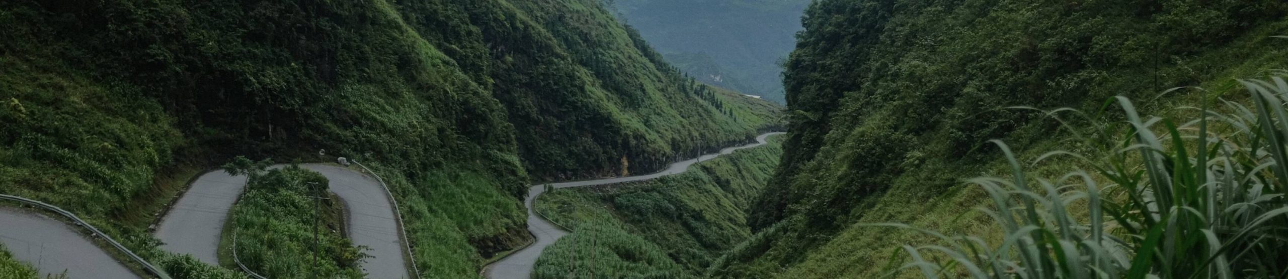
Dong Van Karst Plateau Geopark: What You Are Riding Through
15 Oct - 2026
From the moment you climb past Quan Ba, you are riding inside the Dong Van Karst Plateau Geopark, and you stay inside it for most of the loop. Most riders know the name from a roadside sign and not much more. That is a shame, because once you know what you are looking at, the grey rock fields stop being just scenery.
This guide explains what the geopark is, why the land looks the way it does, and where on the loop you see it best. It also covers how long you need to see it properly.
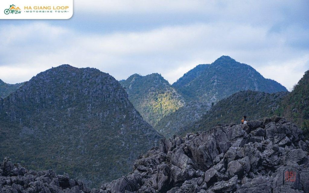
The Dong Van Karst Plateau Geopark joined the UNESCO Global Geoparks Network on 3 October 2010. It was the first in Vietnam. It covers about 2,356 km² of northern Ha Giang, right up to the Chinese border. That takes in most of the four former districts of Quan Ba, Yen Minh, Dong Van and Meo Vac.
A geopark is not a national park with gates and tickets. People live and farm all through it, and the idea is to protect the geology while the communities on top of it carry on. UNESCO keeps an official page on the geopark if you want the background.
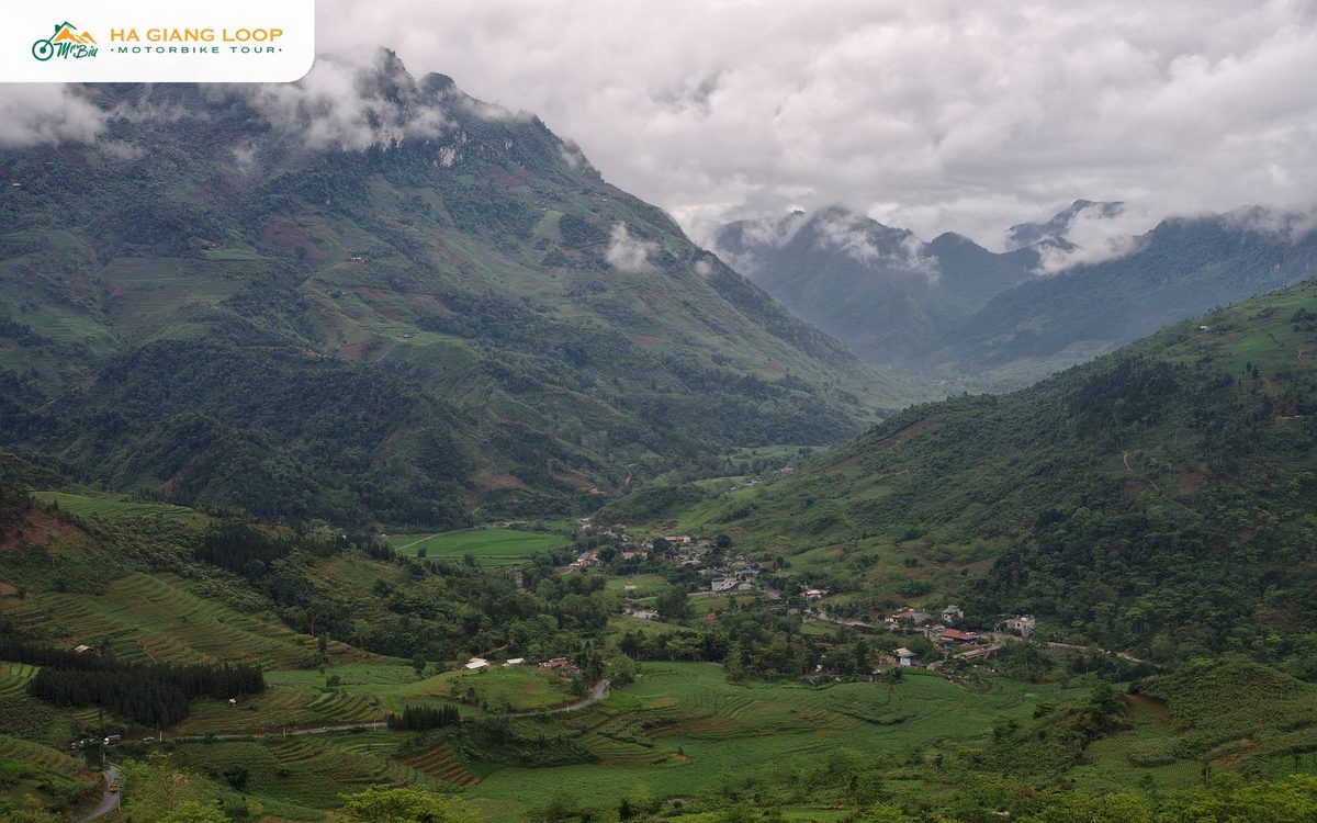
The average height of the plateau is between 1,400 and 1,600 metres. That is why it feels so much colder than Ha Giang city, and why the cloud often sits on the road instead of above it.
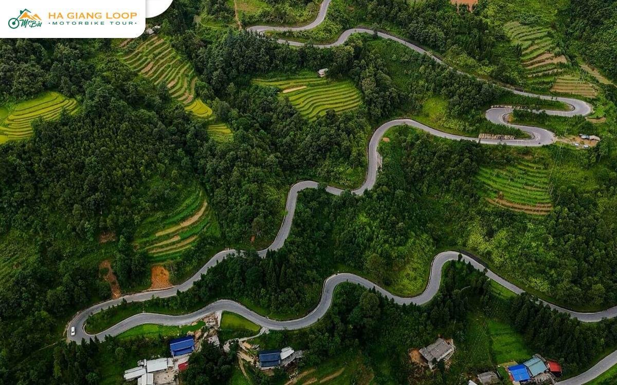
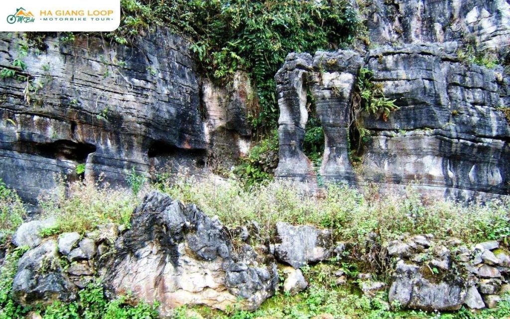
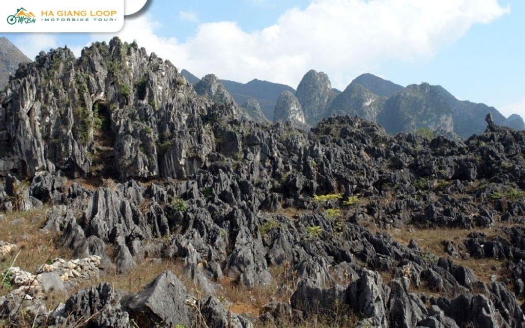
About 80% of the geopark is limestone, according to the Wikipedia entry on the geopark. Rain is slightly acidic, and over a very long time it dissolves limestone along its cracks. What is left is the landscape you ride through: steep cone-shaped peaks, deep valleys, sinkholes and fields of sharp grey rock.
Locals call the sharpest rocks “cat’s ear stones”, and once you have seen them you understand why. On the higher parts of the plateau there is almost no flat soil at all.
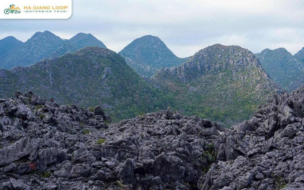
That is why you see corn growing in small pockets of earth between the rocks, sometimes only a few plants to a pocket. Families carry soil up by hand to fill them. The dry stone walls around houses and fields are built from the same rock they cleared to plant.
The rocks are old. The geopark’s record runs from the Cambrian period, about 550 million years ago, to the present. The oldest fossil found here, at Lung Cu, has been dated to around 540 million years. You do not need to care about geology to enjoy the ride. Still, the grey stone at the roadside is older than almost anything else you will touch on the trip.
You are inside the geopark for most of the trip, but some places show it off better than others.
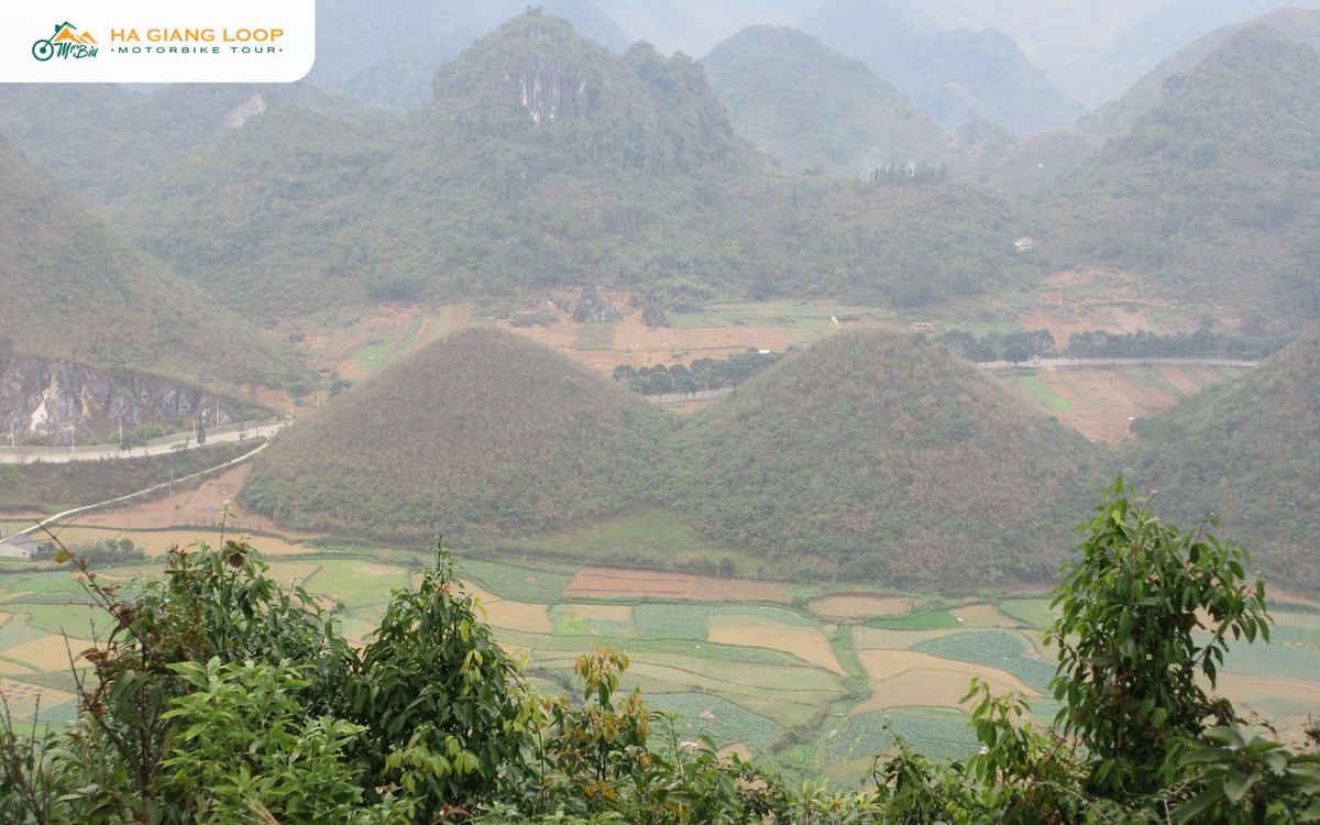
Quan Ba Heaven Gate and the Twin Mountains. This is the first big viewpoint after Bac Sum Pass, looking down on Tam Son valley. Our guides to Quan Ba Heaven Gate and the Twin Mountains cover both.
Tham Ma and Chin Khoanh. These two hairpin climbs between Yen Minh and Sung La cross the plateau’s edge. See Tham Ma Pass for the one with the flower sellers.
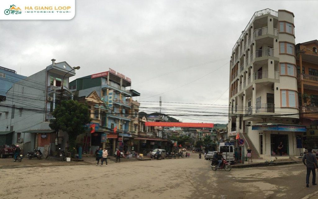
Dong Van old quarter. The market town sits in the middle of the geopark and makes the best base for exploring it. Read our Dong Van town guide.
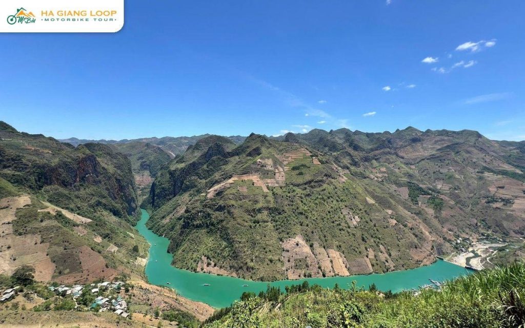
Ma Pi Leng and the Tu San canyon. This is the headline geosite. The Nho Que river runs through a canyon around 800 metres deep, with the cliff road above it. Our guides to Ma Pi Leng Pass and the Nho Que river boat trip show it from both above and below.
Lung Cu. The northernmost point of Vietnam, and the spot where that 540-million-year-old fossil was found. Our Lung Cu Flag Tower guide explains how to fit it in.
Seventeen ethnic groups live inside the geopark, including Hmong, Dao, Lo Lo, Tay, Nung, Pu Peo and La Chi. The landscape shapes how they live. Houses are built from rammed earth and stone, villages sit where there is water, and the weekly markets in Dong Van, Meo Vac and Pho Cao are where the plateau trades.
It is a lived-in place, not an open-air museum. Ask before you photograph people, keep off the fields, and buy from the market stalls rather than handing out money. Our guide to being a responsible tourist in Ha Giang covers the details.
The geopark is also home to one of the rarest primates on Earth, the Tonkin snub-nosed monkey. UNESCO puts the population in the geopark at about 200. They live in forest well away from the road, and nobody on a motorbike tour sees one. It is still worth knowing they are out there.
Height changes the riding. Mornings are cold for most of the year, and in winter the temperature can fall to around 5°C. Pack gloves and a warm layer even if Ha Giang city felt hot.
Cloud sits on the plateau more than in the valleys, so visibility can drop to a few metres on the passes. Rock falls and loose stones are more common on the higher roads after heavy rain. Fuel stations are further apart, so fill up whenever you pass through a town. Our Ha Giang Loop map helps you plan the distances between them.
Three days gets you through the geopark. Four days lets you actually see it.
On the shorter three-day route, Ma Pi Leng comes on day two, with the night in Dong Van. The morning of day three goes to the plateau, then Chin Khoanh, Lung Cam and the ride home. It is a full itinerary and it works, but the plateau gets one morning.
On four days on the plateau with Mr. Biu, day three is given over to Lung Cu, a Lo Lo village and Lung Cam before an overnight in Yen Minh. The last day adds Lung Khuy Cave. If the geology, the villages or the far north are why you came, take the extra day.
Mr. Biu is run by a Ha Giang family, and every trip we run crosses the plateau. Our guides ride in front and stop where the geopark is worth stopping for, not just where the buses do. More about us on the Mr. Biu Tour Ha Giang homepage.
Thai An, Du Gia, Ma Pi Leng, Dong Van and the karst plateau, with two homestay nights and around 350 km. From 2.850.000đ ($114) sitting behind a friend, 3.190.000đ ($128) driving yourself, or 4.000.000đ ($160) with an easy rider.
More time on the plateau: Lung Cu Flag Pole, a Lo Lo village and Lung Khuy Cave, with three homestay nights. From 3.850.000đ (about $154), 4.050.000đ ($162) driving yourself, or 4.900.000đ ($196) with an easy rider.
Compare them on our tours page, or book online. Questions? Contact us, message us on WhatsApp at (+84) 3272 58338, or email mrbiu.booking@gmail.com.
A UNESCO Global Geopark in northern Ha Giang, recognised in 2010 and the first in Vietnam. It covers about 2,356 km² of limestone highland, with an average height of 1,400 to 1,600 metres.
No. It is open land with villages, farms and public roads. Individual sites inside it, such as Lung Cu Flag Tower or the Vuong Family Palace, charge their own entrance fees. On our tours, entrance fees for the sites on the itinerary are included.
Most of it. Everything from Quan Ba north to the border, including Yen Minh, Dong Van, Meo Vac and Ma Pi Leng, lies within the geopark.
The geological record runs from the Cambrian, about 550 million years ago, to today. The oldest fossil found there, at Lung Cu, is about 540 million years old.
It is enough to ride through it. Four days gives you Lung Cu, a Lo Lo village and more time on the plateau, which is where the geopark is at its most striking.