Friday
09.2026

Lung Cu Flag Tower: How to Visit Vietnam’s Northernmost Point
04 Sep - 2026
Most people who ride the Ha Giang Loop come back with the same photograph: a red flag snapping in the wind on top of a stone tower, terraced fields falling away on every side, and China visible across the valley.
That is Lung Cu Flag Tower, and it marks the northernmost point of Vietnam. It is also the one major landmark that a three-day loop cannot reach — which is exactly why so many riders ask about it before booking.
Here is how to actually get there, what to expect when you arrive, and how to fit it into your trip.
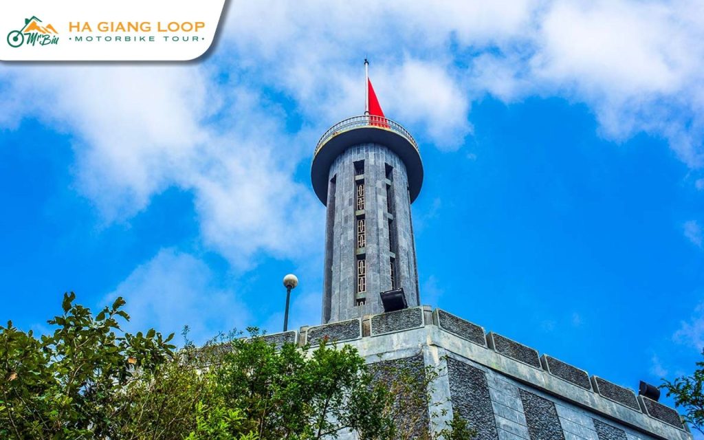
The tower stands on top of Dragon Mountain in Lung Cu commune, about 24 kilometres north of Dong Van town and roughly 160 kilometres from Ha Giang City. At around 1,470 metres above sea level, it is the highest point most riders will stand on during the loop.
The flag itself is 54 square metres, one square metre for each of Vietnam’s 54 ethnic groups. That detail matters more than it sounds. Up here you are in Lo Lo and H’mong country, in villages that sit closer to the Chinese border than to any Vietnamese city, and the flag is a very deliberate statement about where the country ends.
There has been a marker on this hill in one form or another for centuries. The current tower was completed in 2010, built in the style of the Hanoi Flag Tower, with an octagonal base carved with bronze drum motifs.
The road is paved the whole way and, by Ha Giang standards, not technically difficult. The challenge is distance rather than danger.
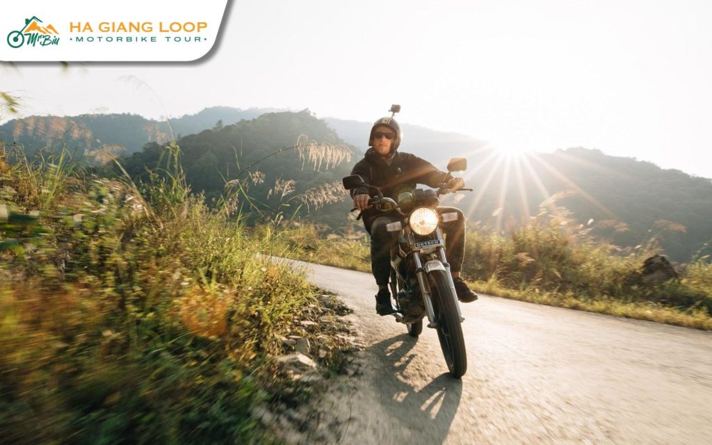
This is how almost everyone does it. Around 24 kilometres north, roughly 45 minutes to an hour on a motorbike depending on how often you stop. The road climbs steadily through Ma Le and Lo Lo Chai, and there is no section that requires real off-road skill.
Around 160 kilometres. Nobody rides this in one sitting as a day trip — it is a full day each way and you would spend the whole time on the bike. If Lung Cu is the goal, plan to sleep in Dong Van the night before.
You park at the base and walk up. There are 389 stone steps to the tower platform, then a further spiral staircase of 140 steps inside the tower itself if you want to stand right under the flag. Take your time; at this altitude the steps are more tiring than the number suggests.
The view is the point. From the platform you can see terraced fields, two small lakes the locals call the dragon’s eyes, and the border marker line running through the hills. On a clear day you can pick out Chinese villages on the far side.
Entrance fees and opening hours are modest but do change, and the site is managed rather than freely open. Ask your guide or check on the day — we would rather you had current information than a number from an article.
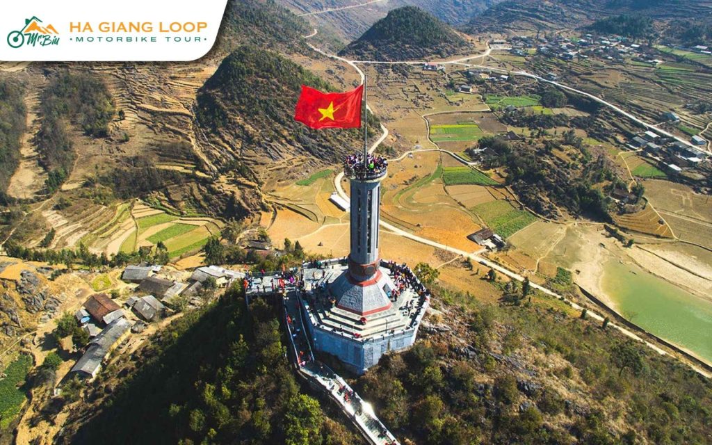
One thing worth knowing: this is a genuinely popular site with domestic tourists, not just foreign riders. Weekends and Vietnamese public holidays get busy, and the staircase can back up. Arriving before mid-morning usually means you have the platform to yourself.
Lung Cu sits high and exposed, and the weather here can be completely different from Dong Van 24 kilometres away.
If the cloud is down when you arrive, it is worth waiting twenty minutes. Mist on this hill moves fast and often clears as quickly as it came.

Lung Cu is not a there-and-back errand. There are two stops on the same road that most riders are glad they made.
Lo Lo Chai village sits at the foot of the hill. It is a Lo Lo community with traditional earth-walled houses, and several families run small cafes and homestays. It is one of the few places on the loop where stopping for coffee feels like visiting rather than transacting.
Ma Le, on the way up from Dong Van, is a H’mong village where the terracing is some of the most dramatic on the plateau.

For food, this is corn country rather than rice country. Men men — steamed corn couscous — is the everyday staple, and thang co, a slow-cooked meat stew, turns up at markets. Both are worth trying once, and both are easier to enjoy with someone to explain what you are eating.
This is the practical question, and the answer is straightforward.
A three-day loop does not reach Lung Cu. That itinerary rides from Ha Giang up to Dong Van on day one, east over Ma Pi Leng on day two and home through Du Gia on day three. It is a beautiful route, but it never turns north to the border.
A four-day loop does. Day three heads up to Lung Cu first, stops at a Lo Lo village, and only then loops back through Chin Khoanh and Tham Ma to sleep in Yen Minh. That extra night is what makes the detour possible without turning the day into a marathon.
So if standing at the northernmost point of Vietnam is on your list, the decision is made for you at the booking stage rather than on the road.
Both of our tours are run by a local family who have ridden these roads their whole lives. Same circuit, same homestays — the only choice is how much time you want to give it.
The classic loop, ridden clockwise: Quan Ba Heaven Gate, the Dong Van Karst Plateau, Ma Pi Leng, the Du Gia waterfall and Thai An Pass, with two homestay nights. Around 330 km, from $114. Best if your schedule is tight and you still want every headline view.
Everything above plus Lung Cu Flagpole, a Lo Lo village, the Yen Minh pine forest and Lung Khuy Cave, spread over a gentler pace. Around 440 km, from $154. Best if you would rather stop than hurry.
Self-drive or easy rider on both. Message us on WhatsApp at (+84) 3272 58338 or email mrbiu.booking@gmail.com and tell us your dates.
If you care about the symbolism of standing at the top of the country, yes — there is nothing else like it on the loop. If you are purely there for riding and scenery, Ma Pi Leng is the more spectacular experience and the three-day tour already includes it.
389 steps to the platform, then 140 more inside the tower. No scrambling, no exposure, just steps. Most people manage it comfortably with a couple of pauses. At 1,470 metres you will notice the altitude a little.
Yes. The road is paved and signposted from Dong Van. The usual Ha Giang caveats apply: an international driving permit under the 1968 convention is required for self-drive, and the mountain weather changes quickly.
Two to three hours from Dong Van including the ride both ways, the climb and time at the top. Add more if you plan to stop at Lo Lo Chai.
There are homestays in Lo Lo Chai village at the base of the hill. Most tours sleep in Dong Van or Yen Minh instead, since both sit better within the loop route.
Bring it. This is a border area, identification is sometimes checked, and having it with you avoids any complication.